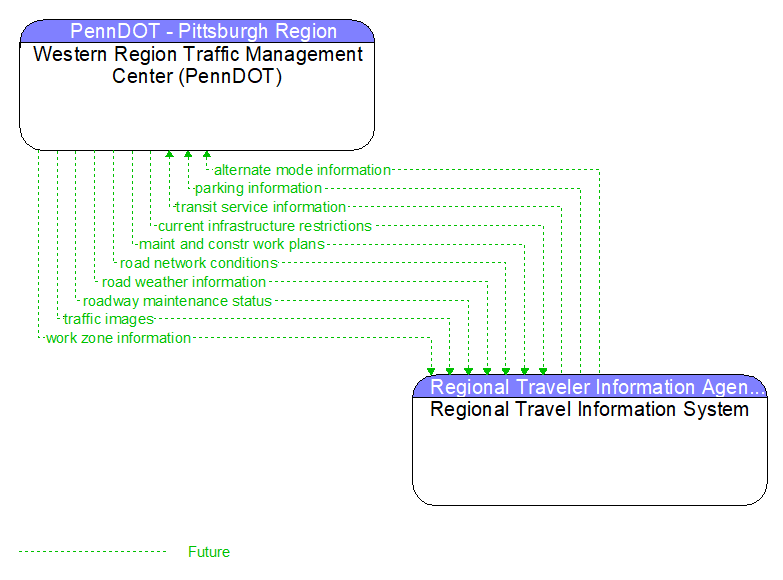
Interface: Western Region Traffic Management Center (PennDOT) - Regional Travel Information System
Information Flow Definitions
alternate mode information (Future) Selected Comm Solution
Schedule information for alternate mode transportation providers such as air, ferry, and passenger–carrying heavy rail. This also includes details of incidents and other service disruptions that have occurred in the alternative mode. This also includes measures of service demand that supports assessment of their impact on the road network.
current infrastructure restrictions (Future) Selected Comm Solution
Restrictions levied on transportation asset usage based on infrastructure design, surveys, tests, or analyses. This includes standard facility design height, width, and weight restrictions, special restrictions such as spring weight restrictions, and temporary facility restrictions that are imposed during maintenance and construction.
maint and constr work plans (Future) Selected Comm Solution
Future construction and maintenance work schedules and activities including anticipated closures with anticipated impact to the roadway, alternate routes, anticipated delays, closure times, and durations.
parking information (Future) Selected Comm Solution
General parking information and status, including current parking availability, parking pricing, and parking space availability information.
road network conditions (Future) Selected Comm Solution
Current and forecasted traffic information, road and weather conditions, and other road network status. Either raw data, processed data, or some combination of both may be provided by this flow. Information on diversions and alternate routes, closures, and special traffic restrictions (lane/shoulder use, weight restrictions, width restrictions, HOV requirements) in effect is included.
road weather information (Future) Selected Comm Solution
Road conditions and weather information that are made available by road maintenance operations to other transportation system operators.
roadway maintenance status (Future) Selected Comm Solution
Summary of maintenance fleet operations affecting the road network. This includes the status of winter maintenance (snow plow schedule and current status).
traffic images (Future)
High fidelity, real–time traffic images suitable for surveillance monitoring by the operator or for use in machine vision applications. This flow includes the images. Meta data that describes the images is contained in another flow.
transit service information (Future) Selected Comm Solution
Transit service information including routes, schedules, and fare information as well as dynamic transit schedule adherence and transit vehicle location information.
work zone information (Future) Selected Comm Solution
Summary of maintenance and construction work zone activities affecting the road network including the nature of the maintenance or construction activity, location, impact to the roadway, expected time(s) and duration of impact, anticipated delays, alternate routes, and suggested speed limits. This information may be augmented with images that provide a visual indication of current work zone status and traffic impacts.