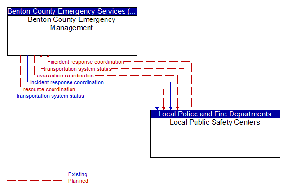
Interface: Benton County Emergency Management - Local Public Safety Centers
Architecture Flow Definitions
evacuation coordination (Planned) Applicable ITS Standards
Coordination of information regarding a pending or in-process evacuation. Includes evacuation zones, evacuation times, evacuation routes, forecast network conditions, and reentry times.
incident response coordination (Planned) Applicable ITS Standards
Incident response procedures and current incident response status that are shared between allied response agencies to support a coordinated response to incidents. This flow provides current situation information, including a summary of incident status and its impact on the transportation system and other infrastructure, and current and planned response activities. This flow also coordinates a positive hand off of responsibility for all or part of an incident response between agencies.
resource coordination (Planned) Applicable ITS Standards
Coordination of resource inventory information, specific resource status information, resource prioritization and reallocation between jurisdictions, and specific requests for resources and responses that service those requests.
transportation system status (Planned) Applicable ITS Standards
Current status and condition of transportation infrastructure (e.g., tunnels, bridges, interchanges, TMC offices, maintenance facilities). In case of disaster or major incident, this flow provides an assessment of damage sustained by the surface transportation system including location and extent of the damage, estimate of remaining capacity and necessary restrictions, and time frame for repair and recovery.