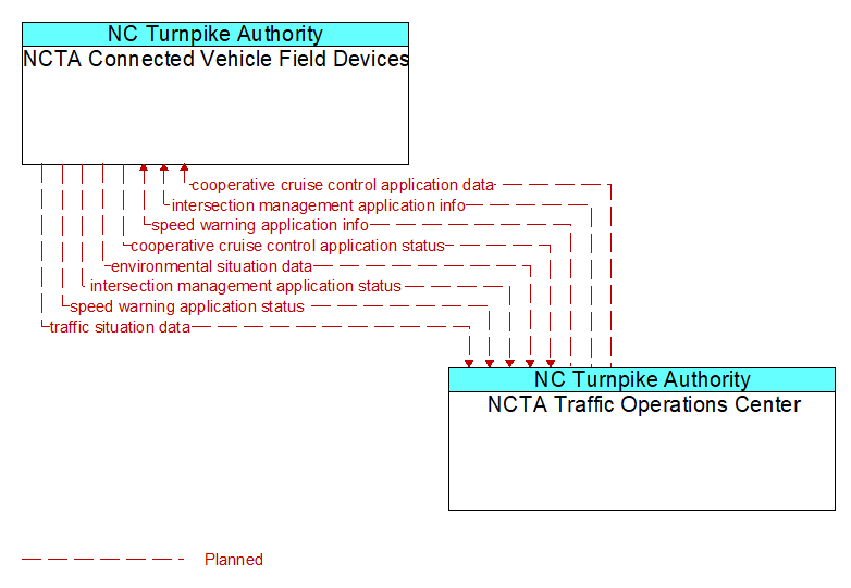
Interface: NCTA Connected Vehicle Field Devices - NCTA Traffic Operations Center
Architecture Flow Definitions
cooperative cruise control application data (Planned) Applicable ITS Standards
Control commands and operating parameters provided to RSEs that monitor and assist the formation, dissolution, and operation of strings of CACC–equipped vehicles. This flow includes recommended CACC operating parameters including maximum string size, target speeds, gaps, and restrictions. In implementations that support destination–based and optimum performance based formation of strings, this flow also supports regional coordination that assists in the assignment of vehicles to CACC strings.
cooperative cruise control application status (Planned) Applicable ITS Standards
Current operational status of the infrastructure enhanced cooperative adaptive cruise control application. The flow includes the status of the RSEs, associated field equipment, and CACC–equipped vehicle strings using the facility.
environmental situation data (Planned) Applicable ITS Standards
Aggregated and filtered vehicle environmental data collected from vehicle safety and convenience systems including measured air temperature, exterior light status, wiper status, sun sensor status, rain sensor status, traction control status, anti–lock brake status, and other collected vehicle system status and sensor information. This information flow represents the aggregated and filtered environmental data sets that are provided by the RSE to the back office center. Depending on the RSE configuration and implementation, the data set may also include environmental sensor station data collected by the RSE.
intersection management application info (Planned) Applicable ITS Standards
Intersection and device configuration data, including intersection geometry, and warning parameters and thresholds. This flow also supports remote control of the application so the application can be taken offline, reset, or restarted.
intersection management application status (Planned) Applicable ITS Standards
Infrastructure application status reported by the RSE. This includes current operational state and status of the RSE and a log of operations.
speed warning application info (Planned) Applicable ITS Standards
Roadway configuration data, current speed limits including time of day, week, or season speed limits as necessary, and warning parameters and thresholds. This flow also supports remote control of the application so the application can be taken offline, reset, or restarted.
speed warning application status (Planned) Applicable ITS Standards
Speed warning application status reported by the RSE. This includes current operational state and status of the RSE and a record of measured vehicle speeds and notifications, alerts, and warnings issued.
traffic situation data (Planned) Applicable ITS Standards
Current, aggregate traffic data collected from connected vehicles that can be used to supplement or replace information collected by roadside traffic detectors. It includes raw and/or processed reported vehicle speeds, counts, and other derived measures. Raw and/or filtered vehicle control events may also be included to support incident detection.